Cemeteries
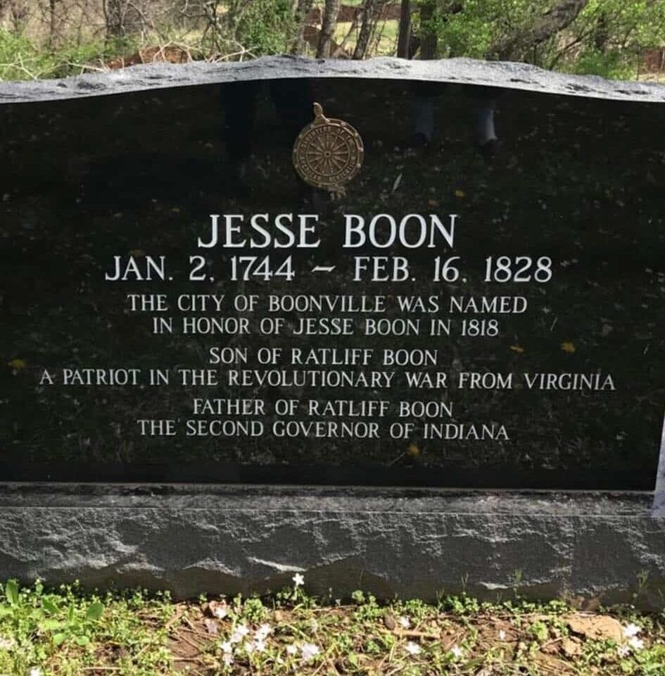
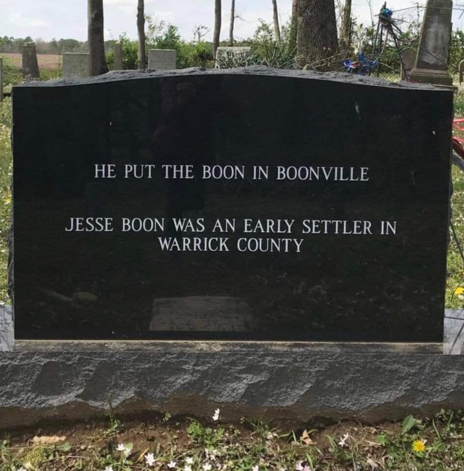
Harpole Cemetery
Cemeteries
All directions are from the center of Boonville.
- Baker – N38°01.6’ W87°19’ – Take Highway (Hwy) 62 west to Hwy 261south. Follow Hwy 261south to Baker Rd./CR 400 and turn left/south. Follow Baker Rd. south for just over ½ mile and turn left. The road dead ends into Baker Cemetery.
- Bethany – N37°57.7’ W87°16’ – Go east on Hwy 62 past the hospital on the right. At the next light continue on straight (do not veer left on Hwy 62) onto Rockport Rd. Follow Rockport Rd. to Thornburgh Cemetery and veer right onto Pelzer Rd. Go South on Pelzer Rd. Pelzer Rd. will become Bethany Church Rd. Go ¾ of a mile past the Isaac Walton League. Bethany Church Cemetery is on the right.
- Bullock – N37°58.1’ W87°15.7’ – Also known as Hedge Cemetery – Go east on Hwy 62 past the hospital on the right. At the next light continue on straight (do not veer left on Hwy 62) onto Rockport Rd. Follow Rockport Rd. to Thornburgh Cemetery and veer right onto Pelzer Rd. Go South on Pelzer Rd. Pelzer Rd. will become Bethany Church Rd. Go just past the Isaac Walton League. Bullock Cemetery is on the right.
- Brown Chapel – N37°59.9’ W87°12.5’ – Go east on Hwy 62 past the hospital on the right. At the next light continue on straight (do not veer left on Hwy 62) onto Rockport Rd. Follow Rockport Rd. and veer left to stay on Rockport Rd. where Bullocktown Rd. goes on straight. Follow Rockport Rd. to Brown Chapel Rd. and turn right. Go south for just over ¼ mile. Brown Chapel Cemetery is on the left.
- Stone – Clutter – N38°4.1’ W87°16.4’ – Go north on Hwy 61 for 1 ¼ miles from Old Court House. Stone – Clutter is on the right.
- Day – N386 W87°18.1’ – Go north on Hwy 61 for just over ½ miles from the Old Court House. Turn left on North Street and follow for 1 ½ miles. Day Cemetery is on the right.
- Ellis – N38°1.7’ W87°20.6’ – Take Hwy 62 west to Hwy 261south. Follow Hwy 261south for just over 3 miles. Ellis Cemetery is on the right.
- Harpole – N38°3.1’ W87°18.2’ – Take Hwy 62 west to Eskew Rd. and turn right/north. Follow to Cumberland Rd. and turn left/west. Follow to end. The gravel path to the right leads to the cemetery.
- *Johnson I – N38°0.6’ W87°13.7’ – Go east on Hwy 62 past the hospital on the right. At the next light continue on straight (do not veer left on Hwy 62) onto Rockport Rd. Follow Rockport Rd. and veer left to stay on Rockport Rd. where Bullocktown Rd. goes on straight. Follow Rockport Rd. for less than ¼ miles. Johnson I is behind the house on the left.
- *Johnson II – N38°0’ W87°13.9’ – Go east on Hwy 62 past the hospital on the right. At the next light continue on straight (do not veer left on Hwy 62) onto Rockport Rd. Follow Rockport Rd. and continue on straight onto Bullocktown Rd. Follow Bullocktown Rd. south for just over ½ miles. There is a small lane on the left leading back into Johnson II Cemetery.
- Kissell – N38°3’ W87°12.8’ – Go east on Hwy 62 to Walnut Street and turn left. Follow Walnut Street past 4-H Center. Road becomes Degonia Rd. Follow for 1 ¾ miles past 4-H and turn left/north on Hachmeister Rd. Go north for less than ¼ miles. Kissell Cemetery is behind the house on the right.
- Lashbrook – N37°59.4’ W87°13.4’ – Also known as New Hope Cemetery – Go east on Hwy 62 past the hospital on the right. At the next light continue on straight (do not veer left on Hwy 62) onto Rockport Rd. Follow Rockport Rd. and continue on straight onto Bullocktown Rd. Follow Bullocktown Rd. south to “T” and turn left. Follow up the hill to New Hope Church and turn left on Lashbrook Rd. Lashbrook Cemetery is on the right.
- Lincoln – N38°2’ W87°16.6’ – Go south on Third Street for 1 mile. Lincoln Cemetery is in the southwest corner of Maple Grove Cemetery.
- Lowell – Fuller – N38°1.5’ W87°17.6’ – Take Hwy 62 west to Hwy 61south. Follow Hwy 61south for ¾ miles. Lowell – Fuller Cemetery is on the right.
- Pizgah – N38°3.3’ W87°19.6’ – Take Hwy 62 west to John Bull Rd. and turn right/north. Follow John Bull Rd. north to the least on house on the left. Mt. Pizgah Cemetery is located ¼ mile north-west in a wooded area under a large oak tree.
- Old Boonville – N38°3.3’ W87°16.6’ – Go north on Second Street past Boonville High School. Old Boonville Cemetery is on the left.
- Old Center – Also known as Hemenway Cemetery – N38°3.3’ W87°20.6’ – Take Hwy 62 west for 3 ¾ miles to McCool Rd. and turn right. Make an immediate right on N. Center Rd. Old Center Cemetery is at the very end of N. Center Rd.
- Pleasant Hill – Also known as Crosstown Cemetery – N38°3.5’ W87°14.8’ – Go north on Fourth Street to Poplar and turn right/east. Follow Poplar Street past Scales Lake. The next road is Bawel Road. Turn left/north. Follow Bawel Rd. for just over ¼ mile. Pleasant Hill Cemetery is on the right.
- Thornburgh – N38°2’ W87°15.4’ – Go east on Hwy 62 past the hospital on the right. At the next light continue on straight (do not veer left on Hwy 62) onto Rockport Rd. Follow Rockport Rd. to “Y”. Thornburgh Cemetery is located within the “Y”.
- Standpipe – N38°3’ W87°16’ – Go east on Hwy 62 to Walnut Street and turn left. Take an immediate left on Flint Street. Take a left on Mulberry Street. Standpipe Cemetery is on the left next to the old water tower.